- Satellite-Based Augmentation System (SBAS) helps operators map pass counts based on low accuracy satellite positioning. Factory standard for 836, upgrade available for other models.
- Factory upgradable Real-Time Kinematic (RTK) utilizes an elevation-based compaction algorithm to identify when the machine has achieved maximum compaction.
- Operators can monitor areas of coverage and the number of passes made via a color display.
- Monitor slopes to plan and control layer thickness.
- Utilize asset hours effectively.
- High accuracy pass count and elevation mapping features help the operator visualize the work as it occurs, achieving better density.
- Ensures that the compactor covers the entire jobsite and produces uniform work, eliminating over-compaction.
- Indicates problem areas and allows for remediation while the workface is open to help lower costs.
- Enables operators to more effectively achieve proper grade utilizing design files while maximizing compaction.
- The touchscreen interface offers easy access to information to help operators of any experience level work more efficiently.
- Utilize the optional VisionLink® Productivity for Landfill application to track volumes, density, cut/fill data, and more. Stay informed of your operation and drive improvements that maximize the life of your landfill.
- Operators can visualize the work they perform and quickly identify areas of concern.
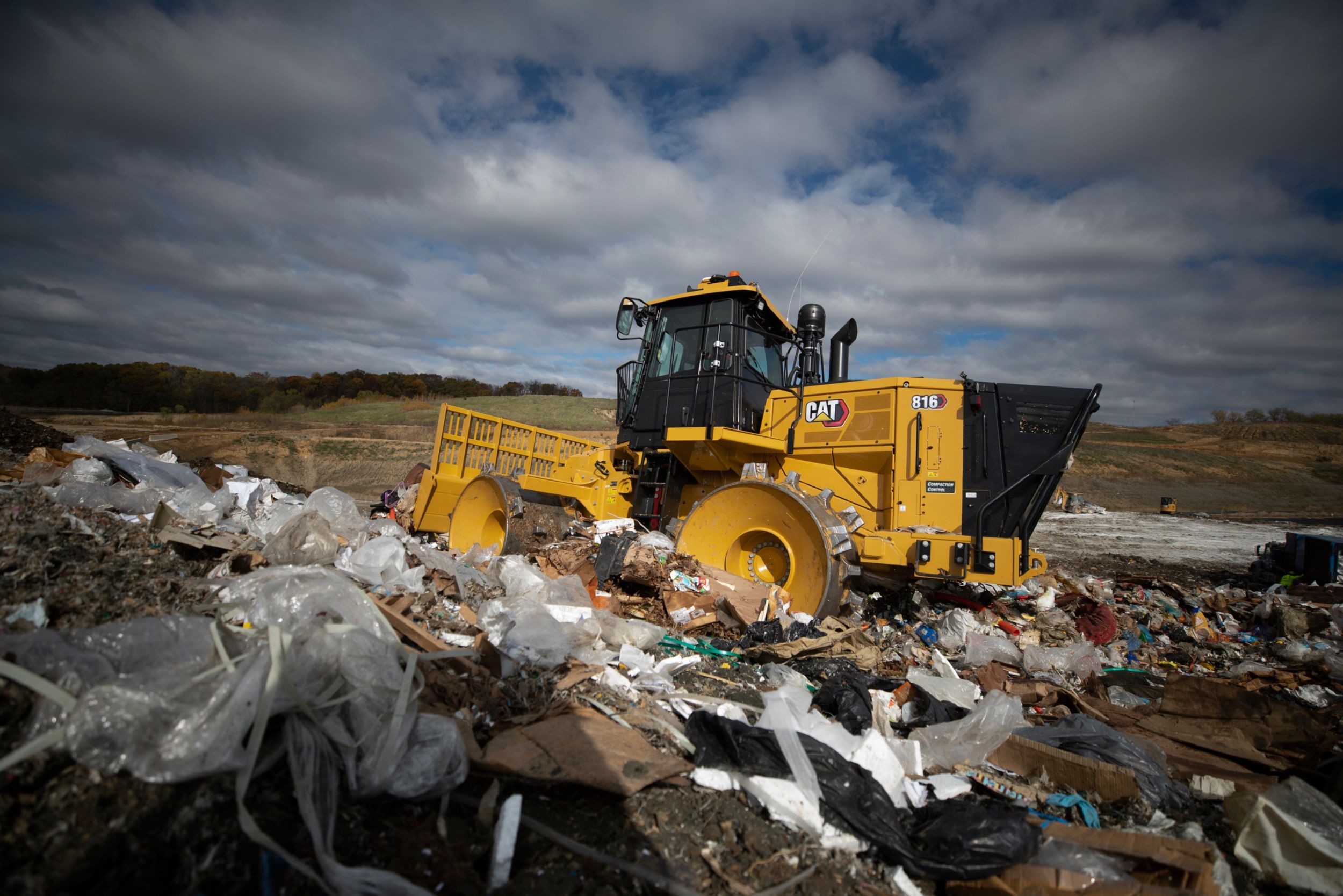
- Compact technologies feature the Landfill Compaction Algorithm (LCA), which tells the operator when a layer is compacted.
All
Photos
Videos
360 View